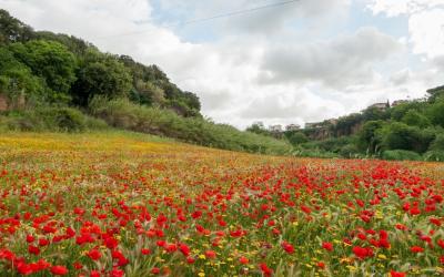
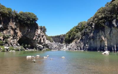
Allumiere and Tolfa are located in an area rich in history, of considerable natural and archaeological interest, on the highest peaks of the Monti della Tolfa overlooking the Tyrrhenian coast between Rome and Civitavecchia.
Thanks to archaeological findings, it is known that the area was densely populated with villages already during the Stone Age (in particular the Palaeolithic and Neolithic), the Copper Age and the Bronze Age (last quarter of the 3rd millennium B.C.). - beginning of the 1st millennium B.C.) and Monte della Rocca itself (as the rocky peak of Tolfa is called today) hosted a Bronze Age settlement.
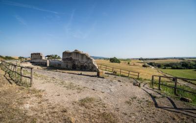
The first known mention dates back to 13 March 1201, but the big change came with the discovery of alum in the area at the end of the 15th century, which gave rise to the opening of quarries for extraction, attracting labour and especially the attention of powerful local families.
In 1462, Giovanni Da Castro was granted a concession by the Papal State to mine alunite.
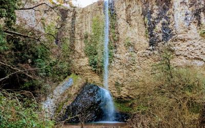
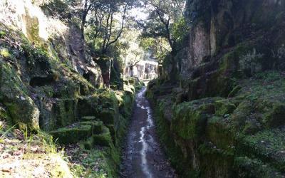
The mining technique used was open-pit mining; this excavation technique, practised for almost three centuries, has altered the physiognomy of the landscape due to the huge fissures and craters made by man in the area to extract the ore. The alum industry led to the sudden development of Tolfa and Allumiere.
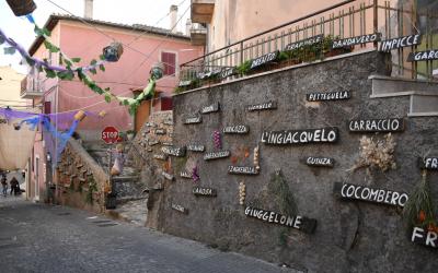
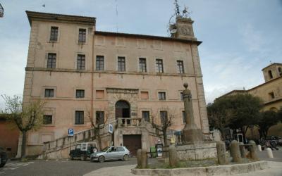
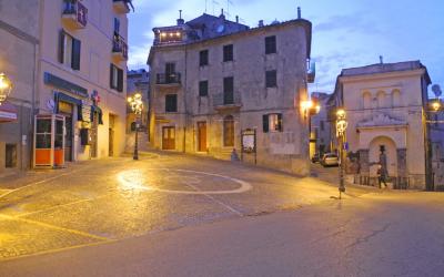
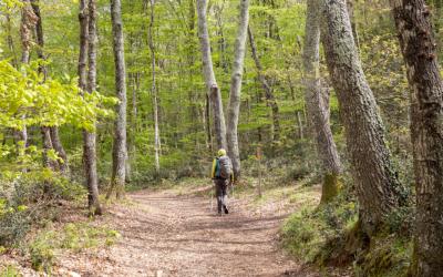
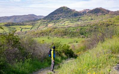
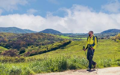
The route goes through the territory of the two municipalities in search of the specifc features of the places.
USEFUL INFORMATION
Distance: 9.55 km
Type of route: accessible by bicycle, public transport or car