

A route through woodlands, plateaus, and ancient Etruscan settlements, from the medieval village of Tolfa to Civitella Cesi, with wide panoramic views over the Mignone Valley.
This stage connects Tolfa to Allumiere and Civitella Cesi, alternating hilly stretches, beech forests, archaeological sites, and spectacular views of the Fiume Mignone valley.
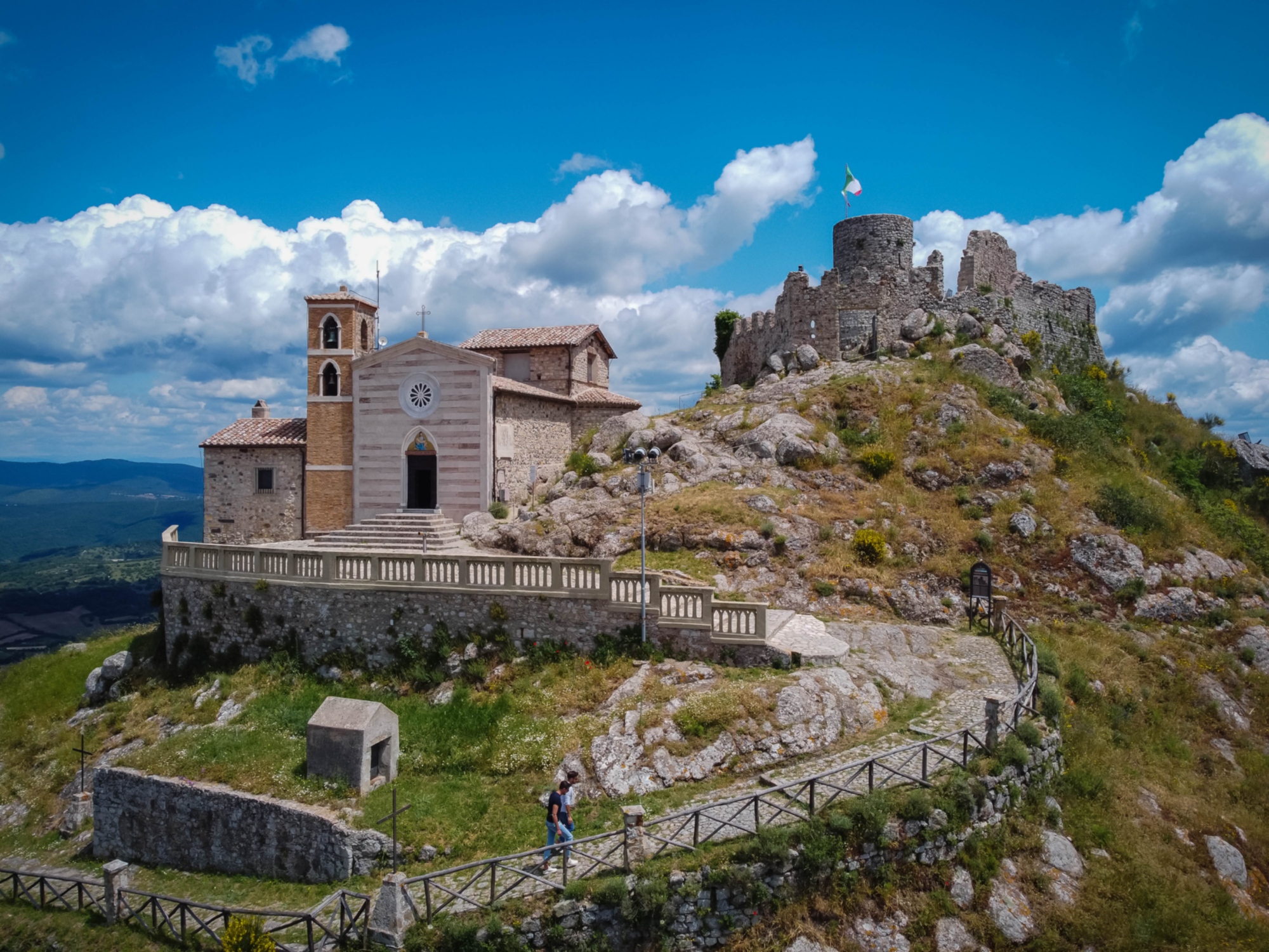
Si parte da Tolfa, borgo medievale dominato dalla Rocca Frangipane. Dal Belvedere di Piazza Vittorio Veneto, il panorama anticipa la discesa che caratterizzerà gran parte del percorso. Dopo una visita consigliata al Museo Civico di Tolfa, il cammino prosegue lambendo la Chiesa di Santa Maria di Cibona, piccolo gioiello rurale di epoca medievale.
The walk begins in Tolfa, a medieval village dominated by the Frangipane Fortress. From the Belvedere in Piazza Vittorio Veneto, the panorama previews the descent that characterises much of the route. After a recommended visit to the Tolfa Civic Museum, the trail passes by the Church of Santa Maria di Cibona, a small rural gem from the medieval period.
The path then enters the Beech Forest of Allumiere, one of the southernmost in Italy, known for its towering beeches and remarkable biodiversity. Shortly after, the trail passes through the Cava del Moro, a historic quarry that tells the story of the area's long mining tradition.
You then reach Allumiere, known for its historic alum production. The Allumiere Civic Museum offers insights into mining activity, geology, and local culture. Leaving the village, the trail descends toward the Grasceta dei Cavallari, a grassy area home to an Etrusco-Roman sanctuary and the Giant Bench, a must-see panoramic viewpoint.
From here, the route begins a gradual descent into the Mignone Valley, through terrain with clayey soils and volcanic deposits. The geological formation, combined with livestock areas and water retention zones, makes the trail prone to mud and slippery conditions, especially after heavy rains. Waterproof boots and trekking poles are strongly recommended for better stability.
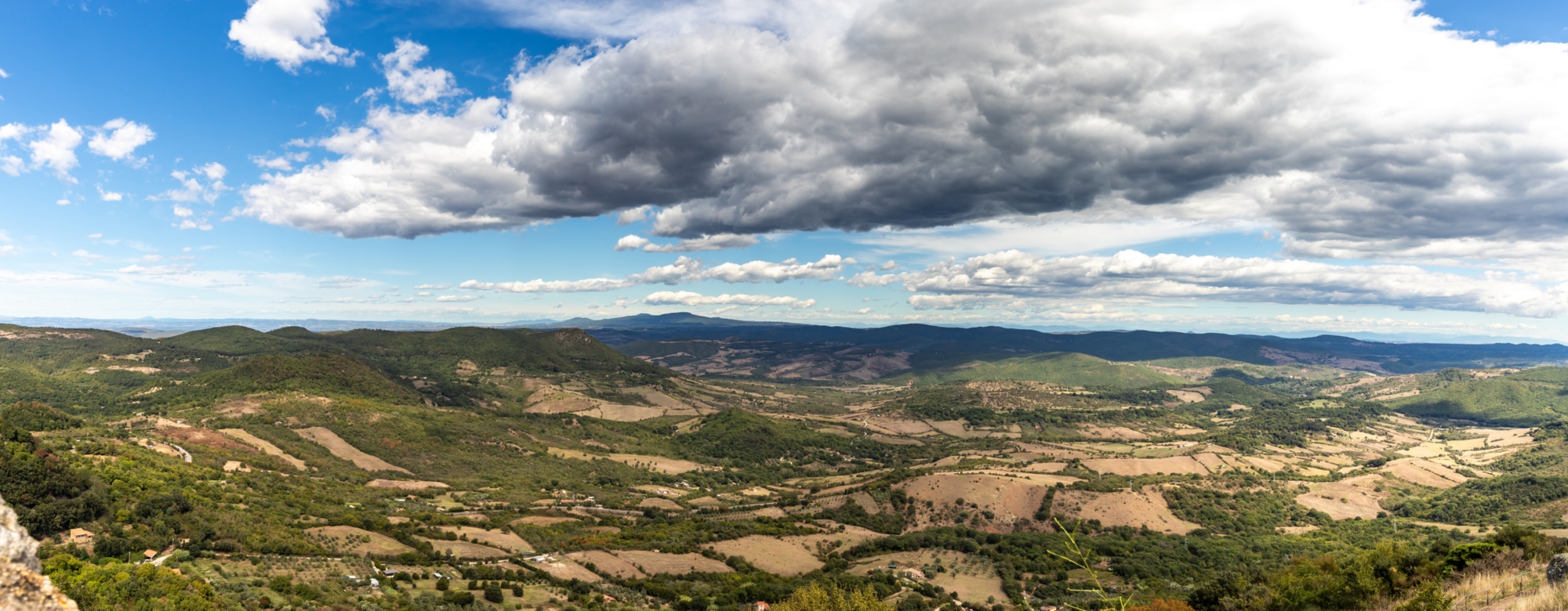
Further along, the trail skirts Monte Piantangeli, with the ruins of a medieval abbey, then continues across the plateaus of Monte Bertone and Monte Poggio Parentina, offering expansive views over the Mignone Valley. Here, the path alternates between wooded sections and farmlands, gradually approaching the river.
At km 19, there is a critical point: the unprotected crossing of the Mignone River (known as Passo di Viterbo). This ford is not passable during the rainy season and can only be crossed from late spring (June) through September, when water levels are low.
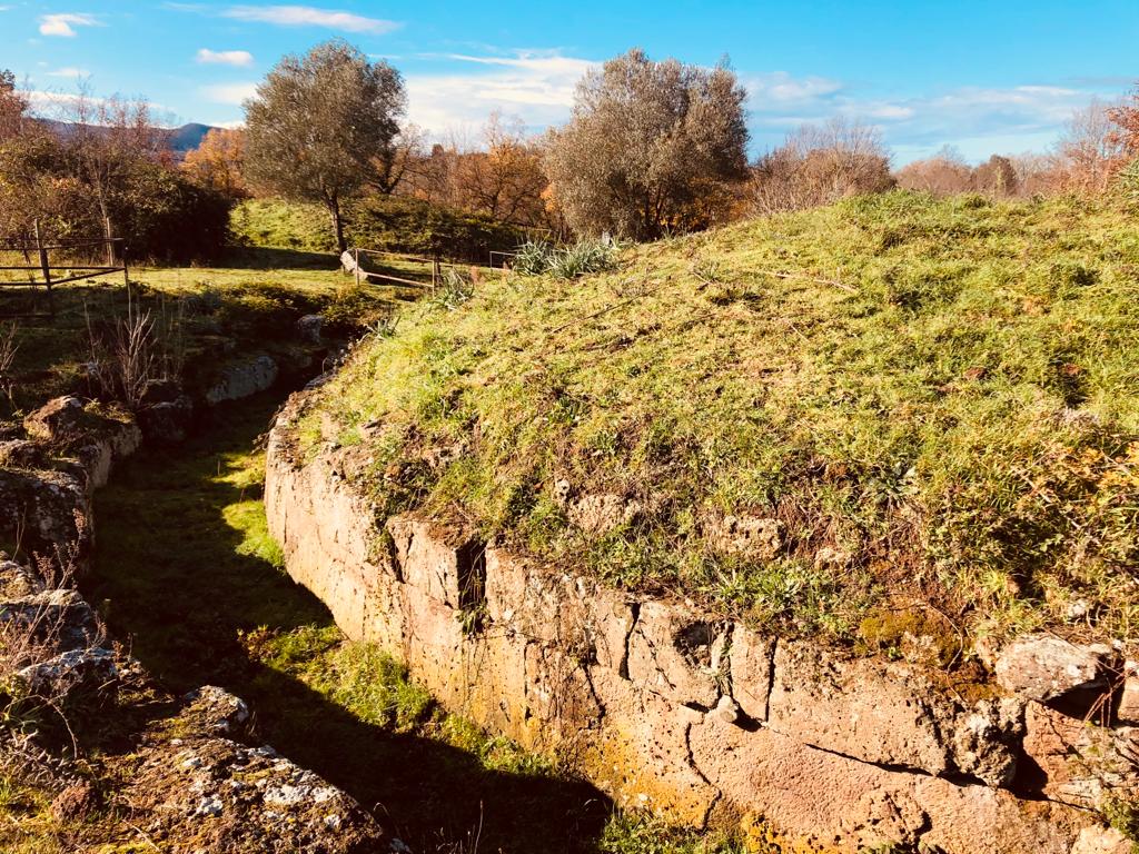
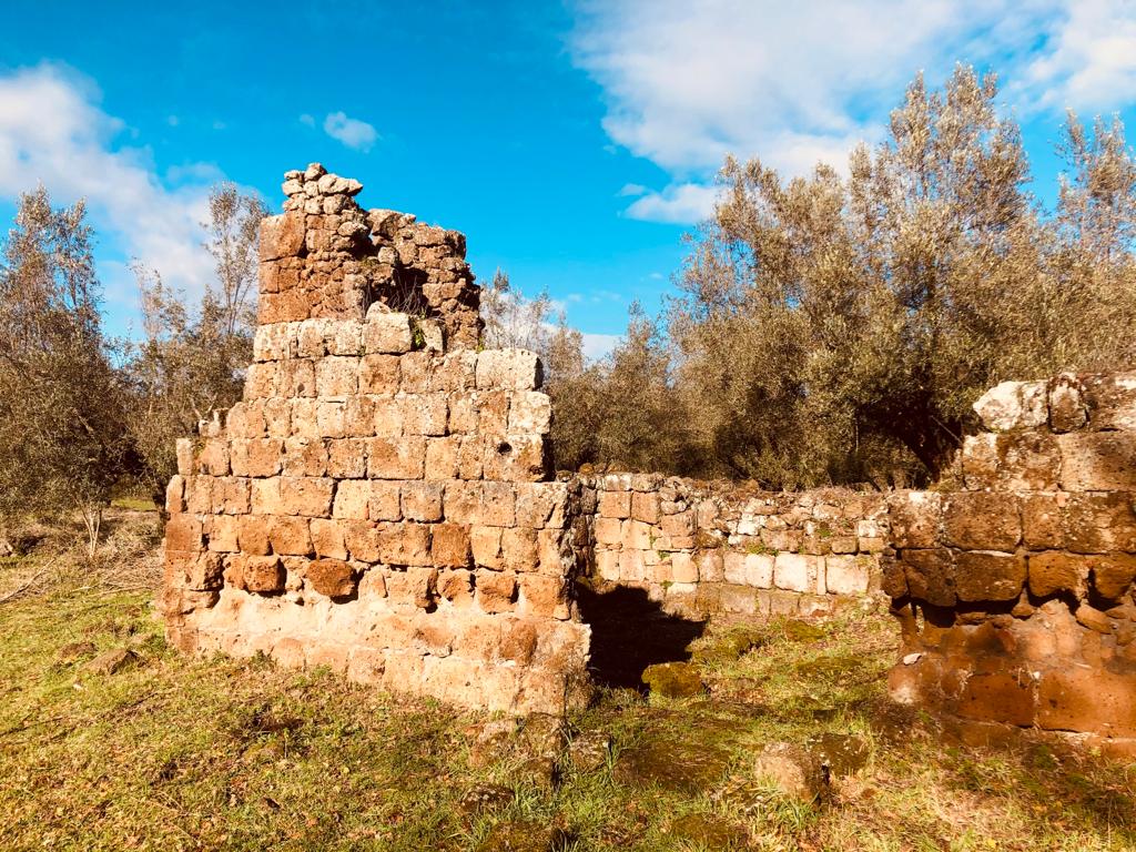
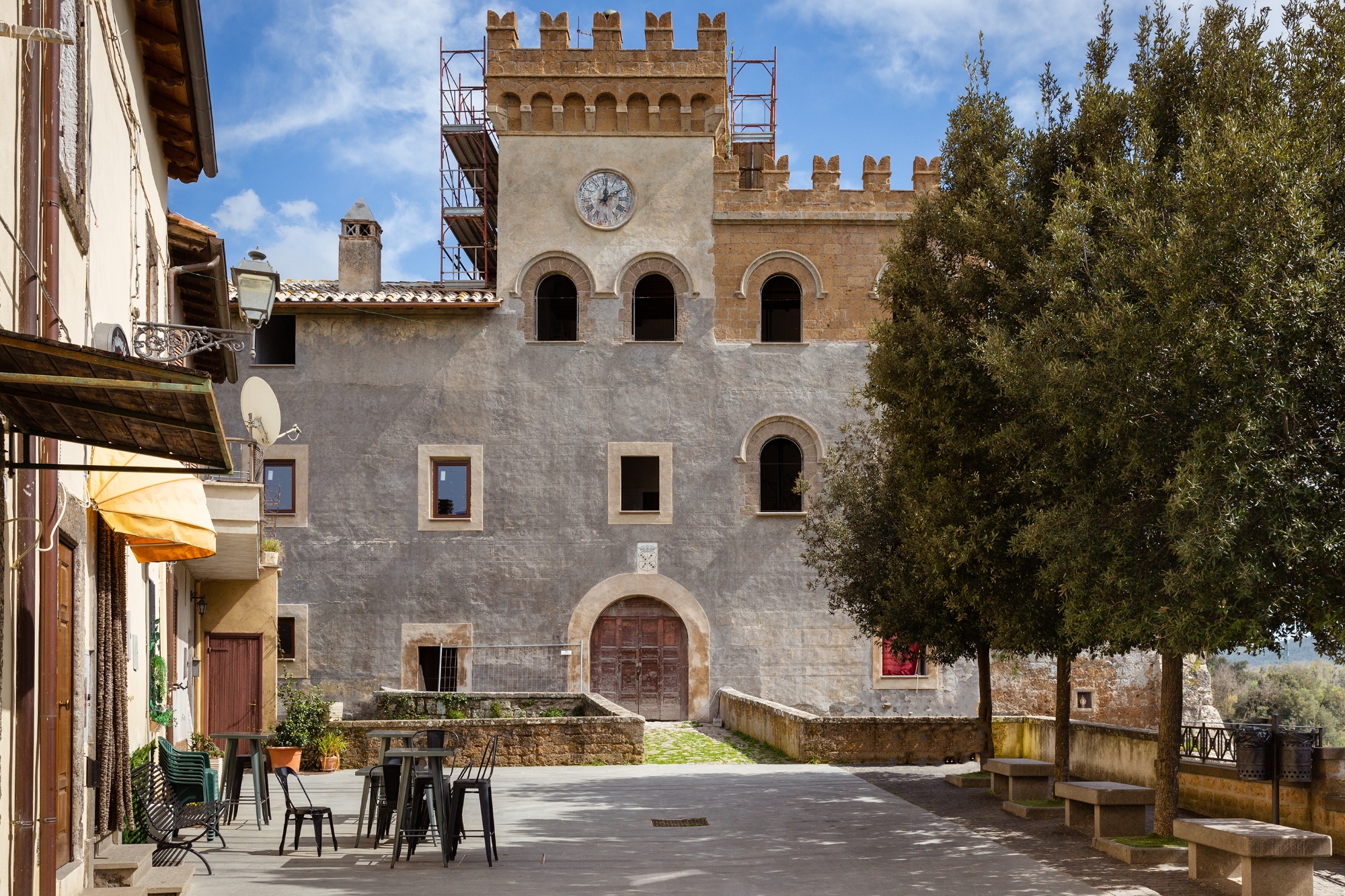
After the crossing, the trail reaches the Etruscan area of San Giovenale, an important settlement with remains of dwellings, defensive walls, and hypogeal necropolises, bearing witness to the ancient Etruscan presence in the region. The trail then continues through meadows and farmland, finally reaching Civitella Cesi, a medieval village dominated by Castello Torlonia.
Info
- Signage
Not present
- Challenges
– This stage descends progressively into the Mignone Valley, across terrain characterised by clay-rich soils and volcanic deposits, typical of the Tolfa Mountains and the Tolfetano-Sabatino region. The combination of unstable geology, livestock activity, and waterlogged areas makes the trail especially prone to mud and slippery surfaces after rain.
It is highly recommended to wear ankle-high waterproof trekking boots, preferably Gore-Tex, and to use hiking poles for safer footing in the more difficult sections.
– Km 19 – Unprotected crossing of the Mignone River (Passo di Viterbo)
This ford is a significant hazard, as it is not passable during rainy seasons. It is generally only safe to cross from June through September, when water levels are lower. In other months, it is advisable to take the winter variant.
– Before starting the hike, it is essential to check current crossing conditions, by contacting local accommodations or Cammino representatives for updated information on river conditions and alternative routes.
Local communities are actively working to improve safety and accessibility, aiming to provide real-time updates on the Mignone crossing.
- Given the terrain, it is strongly recommended to equip yourself with:
– Proper footwear: ankle-high, waterproof trekking boots, preferably in Gore-Tex, to ensure stability and protection.
– Trekking poles: helpful for maintaining balance on muddy terrain and during river crossings.
– Check river conditions in advance: ensure the Mignone crossing is safe before setting out.
- Facing this stage with the right preparation and awareness of local conditions will ensure a safer and more enjoyable hiking experience.


