

A scenic route between Tolfa and Civitella Cesi, passing through Pian della Conserva and Rota, among pastures, century-old oaks, and Etrusco-Roman ruins overlooking the Mignone Valley.
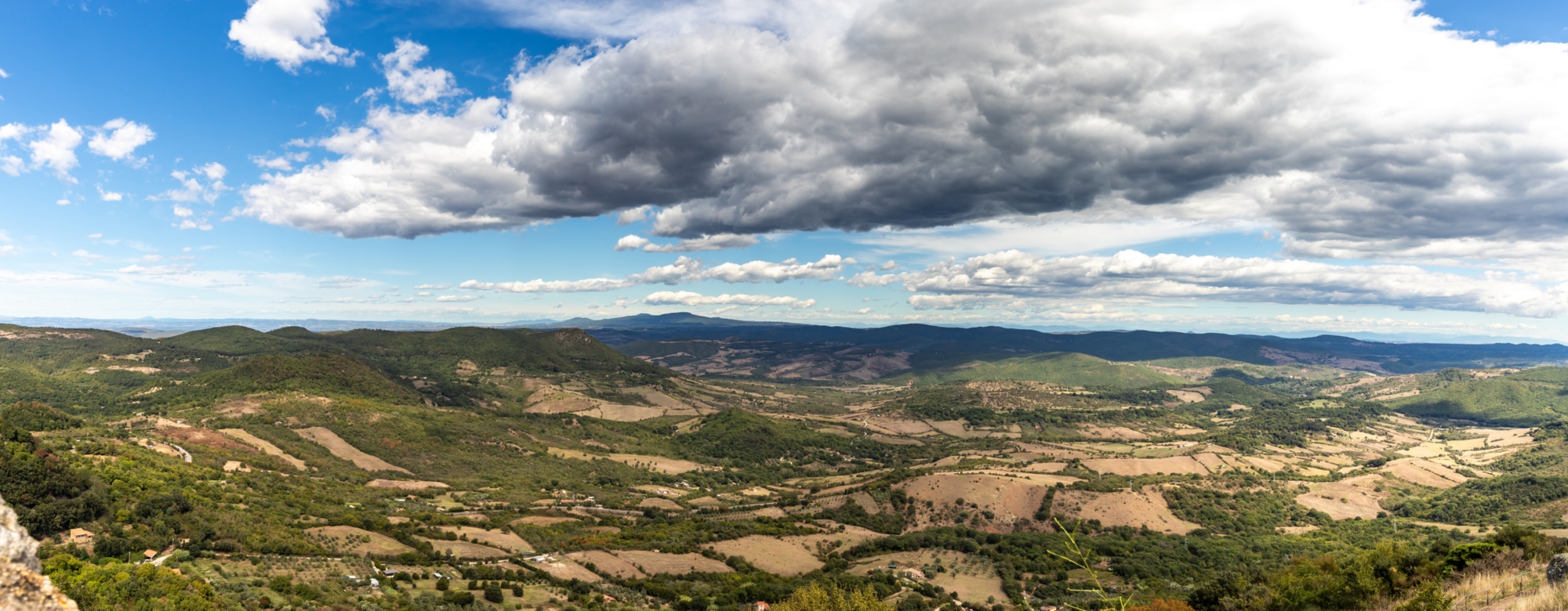
The Tolfa–Civitella Cesi stage, mostly downhill, crosses a landscape of high environmental and archaeological value, alternating tuff ridges, woodlands, and agricultural valleys with wide views over the Mignone Valley.
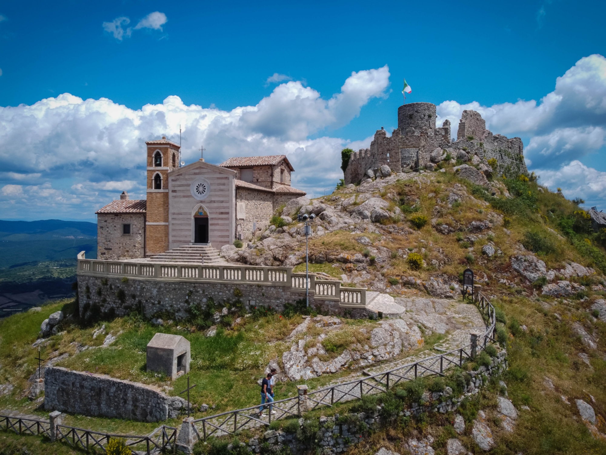
The trail starts in the historic centre of Tolfa, a medieval village dominated by the Frangipane Fortress, which offers striking views of the surrounding hills. From the Belvedere of Piazza Vittorio Veneto, the route descends through the town’s alleys, leaving the urban centre behind after an optional visit to the Tolfa Civic Museum, home to important Etruscan artefacts and exhibits on local history.
Leaving the village, the trail winds along dirt roads and rural paths, crossing grazing lands and patches of oak and Turkey oak.
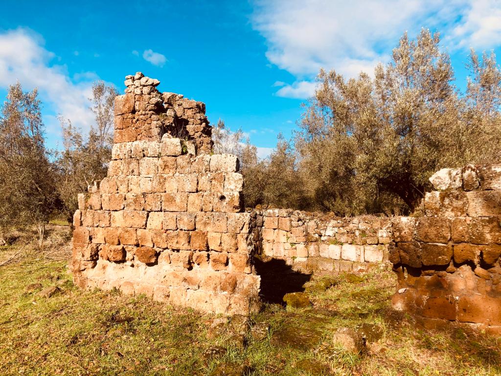
Heading southwest, you’ll reach the Strada Provinciale Braccianese Claudia, which should be walked with care for about 3 km due to local traffic. The route skirts the Pian della Conserva necropolis, a wide volcanic basin marked by pastures and ancient oak trees, and passes through Rota, a rural area with farmhouses and the remains of ancient Etrusco-Roman settlements. After this stretch, the trail turns onto a secondary road leading to the bridge over the Mignone River, marking the entrance into the Civitella Cesi area.
For most of its length up to the river, the route runs through the Site of Community Interest (SCI) “Comprensorio Tolfetano–Cerite–Manziate”, a vast protected area that preserves one of the most authentic landscapes of northern Lazio. The SCI protects a mosaic of environments including mixed forests, grasslands, and tuff formations, habitats for numerous species of community interest such as the honey buzzard, the red kite, and various wild orchids. With its light human impact, this stage is one of the most scenic of the trail for its landscape value and biodiversity.
After crossing the Mignone bridge, the path gently climbs toward Civitella Cesi (about 220 m a.s.l.), a medieval village dominated by Castello Torlonia and gateway to the San Giovenale archaeological area, where you can see remains of dwellings, fortifications, and necropolises belonging to a major protohistoric and Etruscan settlement.
Info
- Signage not present
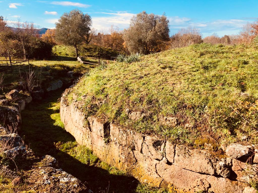
- The Pian della Conserva necropolis is the largest in the Tolfa Mountains. The tuff plateau stretches for over 1.5 km, nestled in the Mignone valley between the Vergine and Acqua Bianca streams.


