
The Etruscan Way
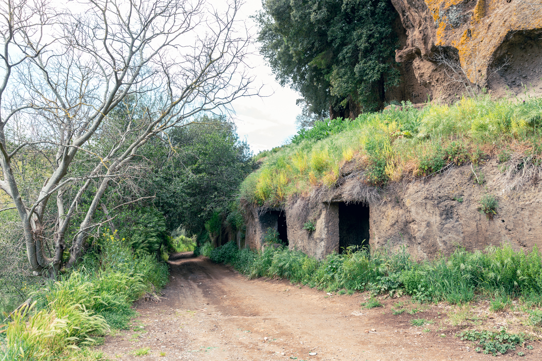
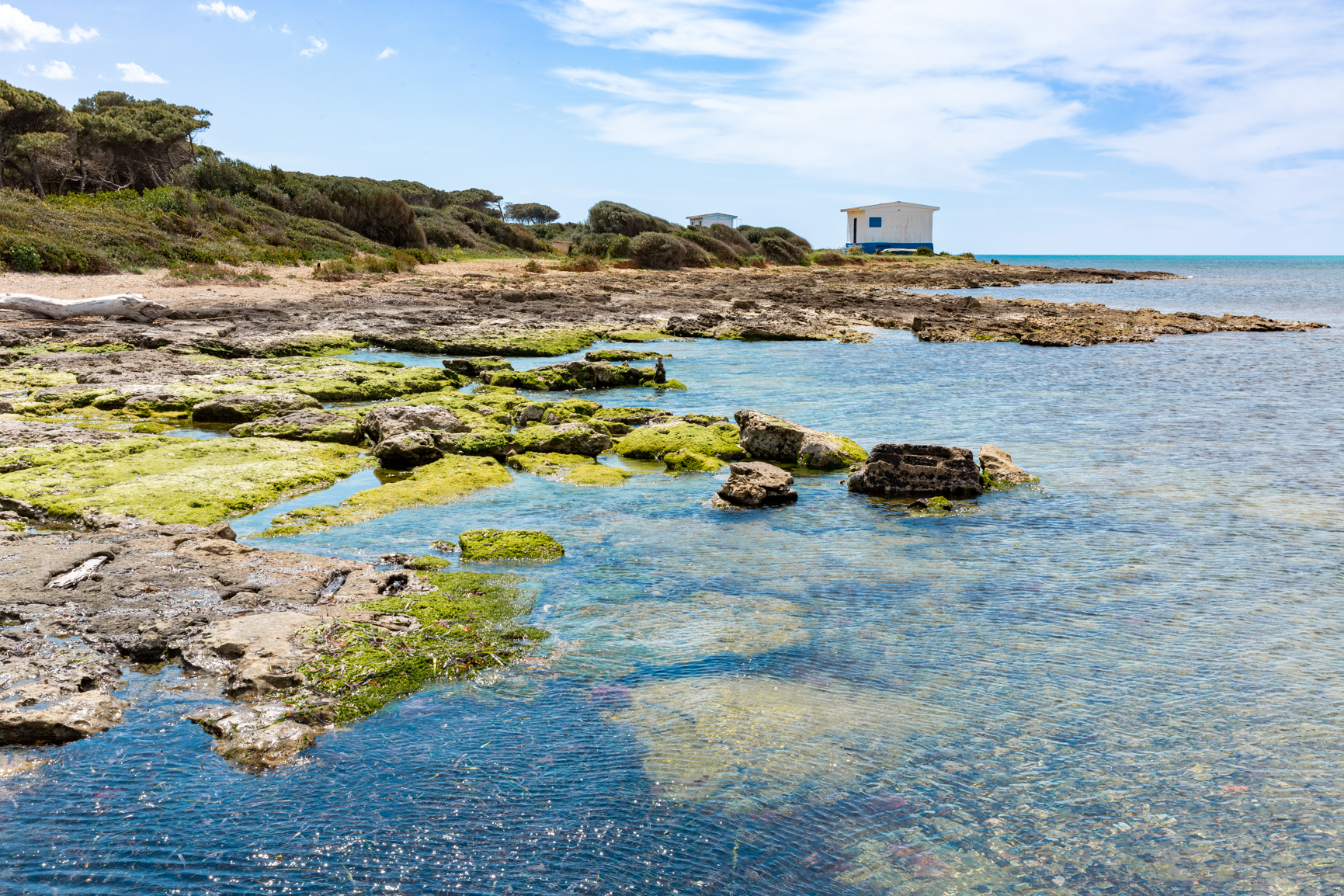
The Etruscan Way is a route of approximately 150 km, divided into seven stages, designed to showcase the legacy of the Etruscan civilization through a walking journey across rolling hills, coastal stretches, sunken roads and archaeological sites of exceptional value.
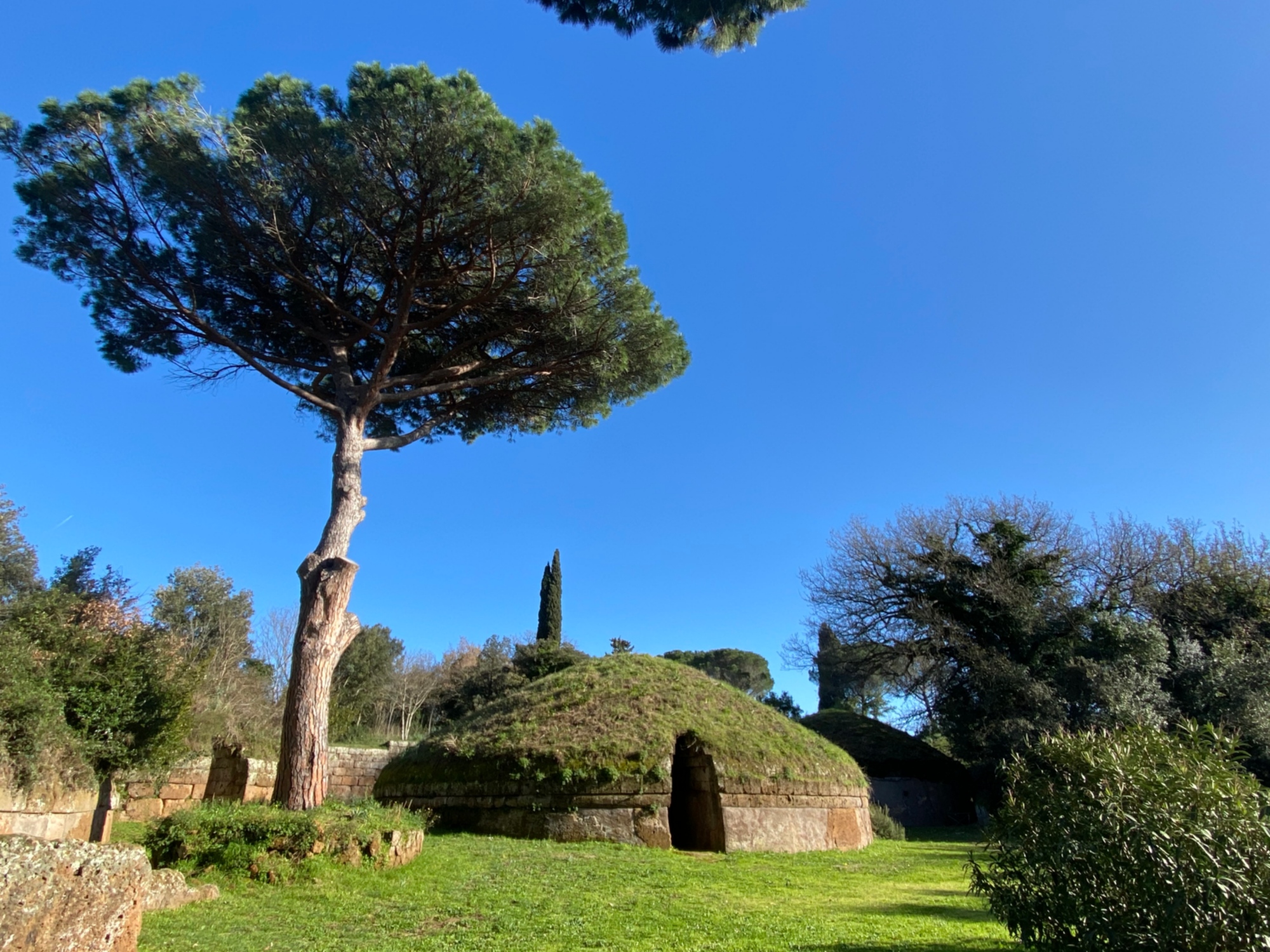
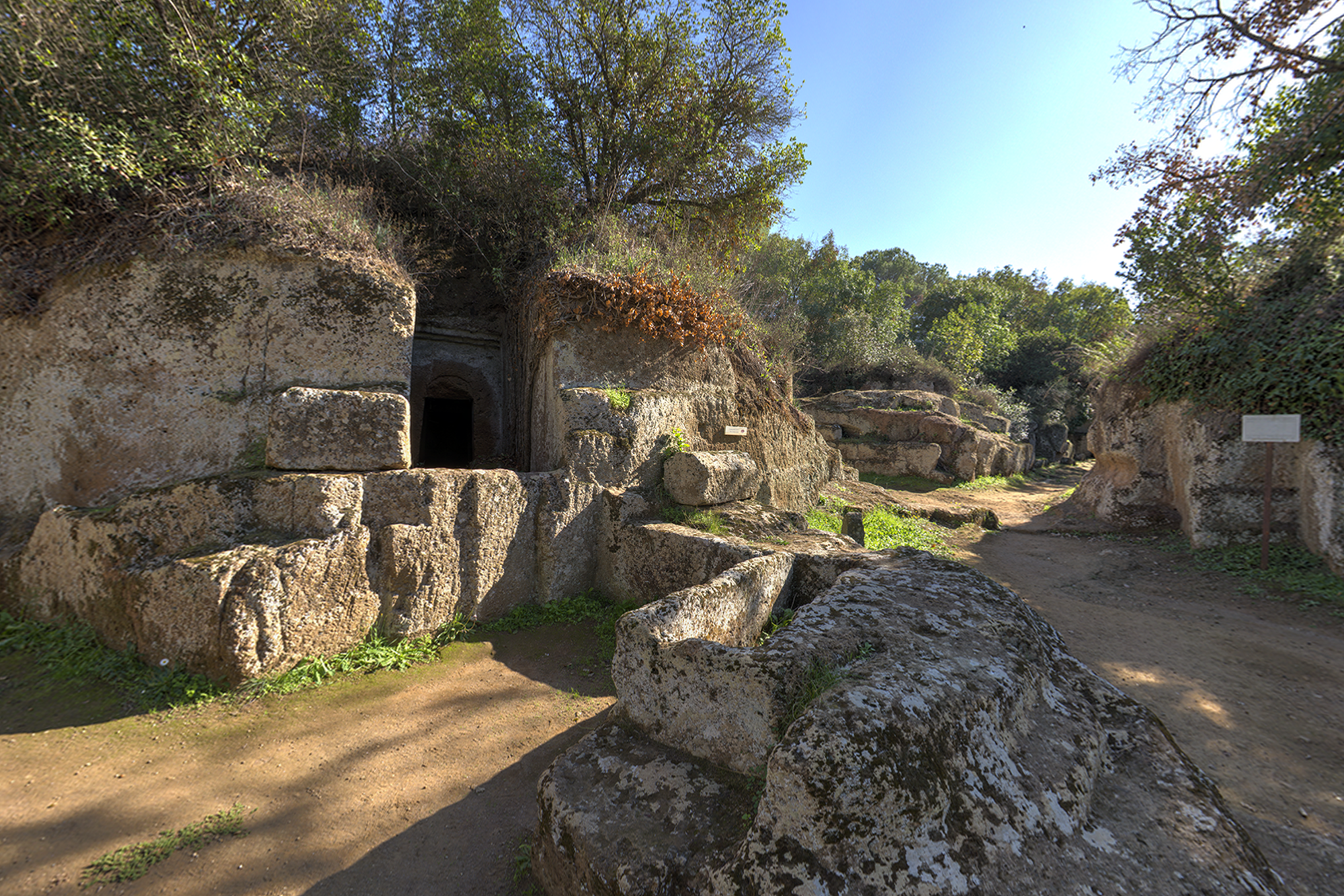
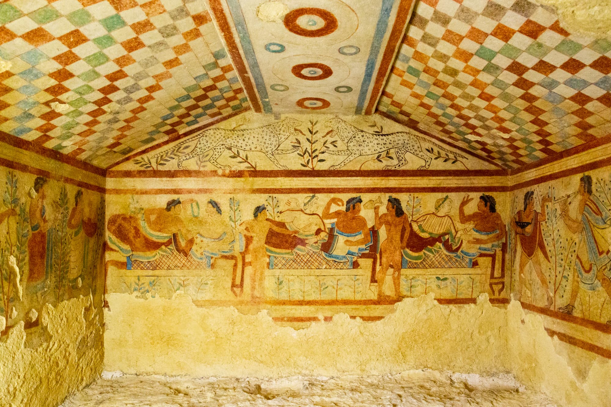
The trail links the Banditaccia Necropolis in Cerveteri and the Monterozzi Necropolis in Tarquinia, both designated as UNESCO World Heritage Sites.
The Full Route
The Etruscan Way passes through the territories of the 12 municipalities that make up the Etruskey DMO – Allumiere, Barbarano Romano, Blera, Canale Monterano, Cerveteri, Civitavecchia, Ladispoli, Montalto di Castro, Monte Romano, Santa Marinella, Tarquinia and Tolfa – each offering a distinctive heritage that contributes to a unique cultural and landscape mosaic.
Thanks to the railway connections along the Rome–Civitavecchia–Pisa and Rome–Viterbo lines, with stations located at strategic points along the route, the trail can also be easily broken down into shorter itineraries of 2 to 4 days, ideal for a more accessible and sustainable experience.
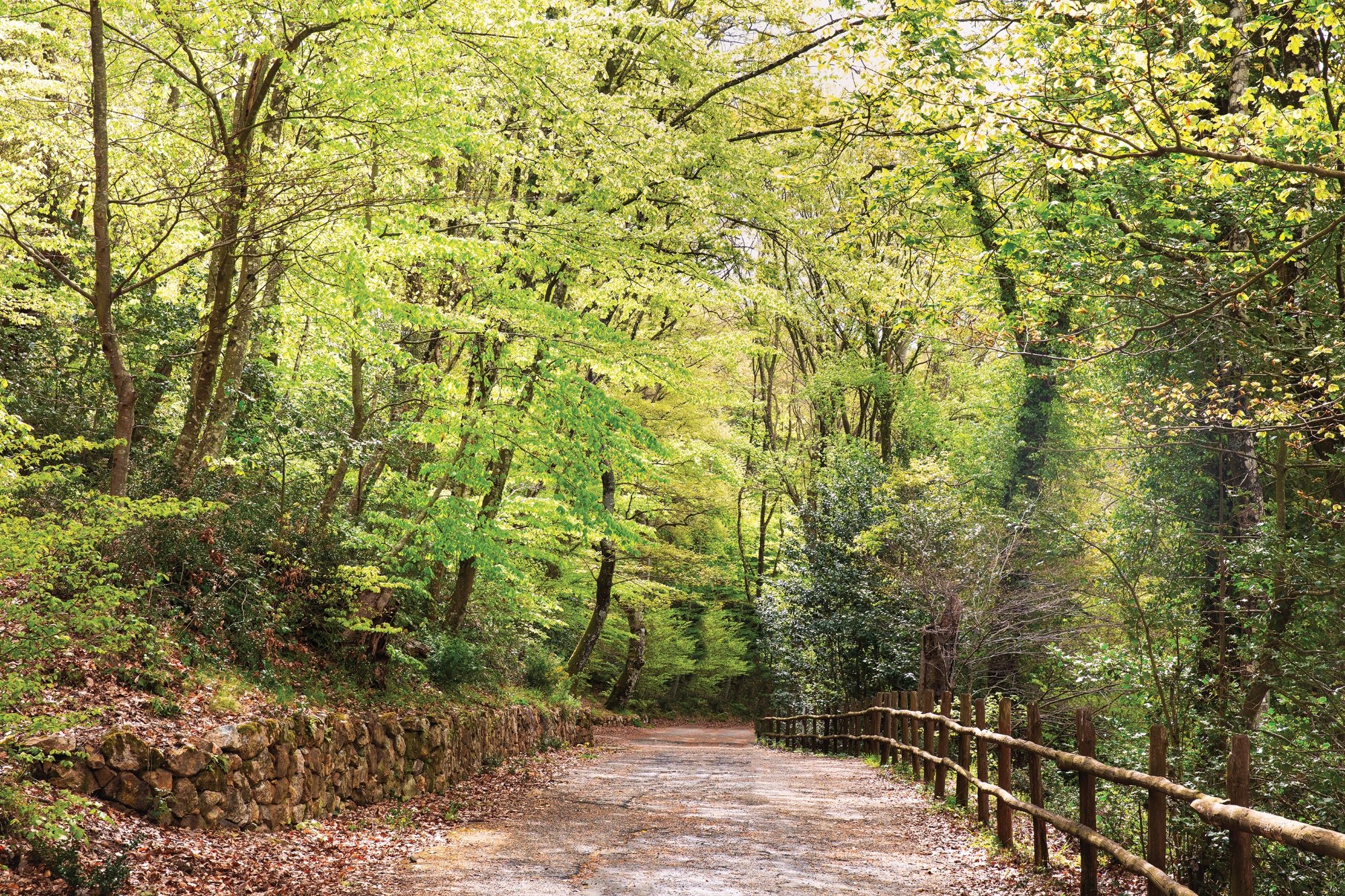
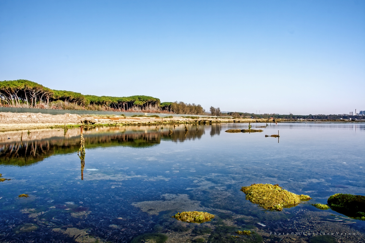
The Etruscan Way offers a new gateway to discover Southern Etruria: an immersive, slow-paced, and identity-rich journey, dedicated to those seeking history, nature, and authenticity.
Official Stages
The Etruscan Way
-
Cerveteri → Canale Monterano – 26.8 km
-
Canale Monterano → Tolfa – 20.2 km
-
Tolfa → Allumiere → Civitella Cesi (summer variant) – 25.2 km
-
Tolfa → Civitella Cesi (winter variant) – 18.2 km
-
Civitella Cesi → Monte Romano – 19.2 km
-
Monte Romano → Tarquinia – 19.3 km
-
Tarquinia → Montalto di Castro – 26.5 km
-
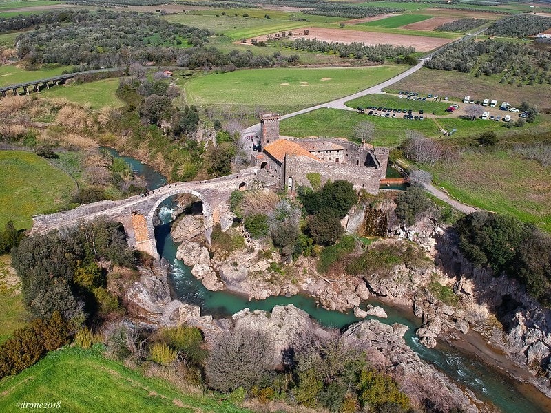
Montalto di Castro → Vulci – 17 km
Variants: connections and branches
-
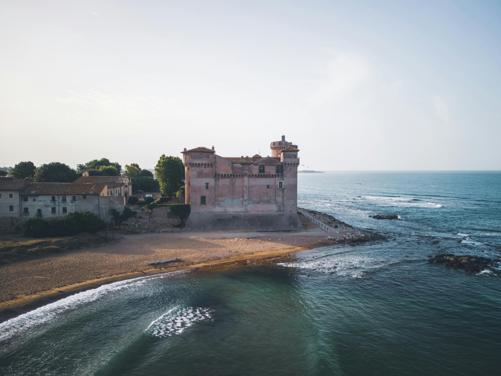
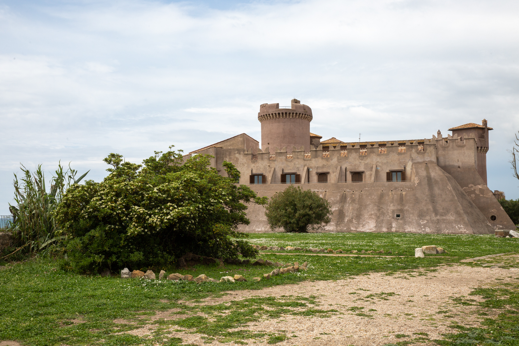
Cerveteri → Castel San Giuliano → Sambuco → Pian della Carlotta → Santa Severa (2 stages) – 42 km
-
Santa Severa → Tolfa – 20.6 km
-
Allumiere → Tarquinia – 26 km
-
Allumiere → Civitavecchia – 26 km
-
Barbarano Romano → Civitella Cesi – 7.5 km
-
Blera → San Giovenale (connection to the Tuscia Trail 103) – 7.4 km
-
Ladispoli → Cerveteri – 7.4 km


